Now In DEO: 10,000 Seismic Lines & Cross-Sections, Increased Coverage of Mexico.
AAPG Datapages has announced major additions to the continuously growing Datapages Exploration Objects™ – DEO – index of geo-referenced maps, seismic lines, cross-sections and other objects needed by exploration geologists.
 • 10,000 new seismic lines and cross-sections
DEO subscribers now have access to 10,000 seismic lines and cross-sections, newly added to the DEO index.
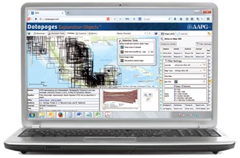
‘The DEO interface has been upgraded to accommodate these newly added items. Unlike other map types, whose locations and footprints are represented in the DEO Map Viewer by quadrilateral wireframes, the locations and/or footprints of the new “vertical elements” are represented by geographically accurate dots and lines. “To select seismic lines or cross-sections for closer inspection or possible download, you can now simply click on the corresponding dot or line in the Map Viewer,” says Datapages Manager Ron Hart.
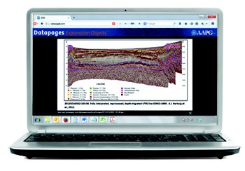
When a seismic line or cross-section has been selected, DEO displays a “thumbnail” image of the object in a Source Information box that also includes complete information on the object’s published source – with clickable links to the article and to the page from which the object was extracted.
 For a larger view of the object, the user simply clicks on the thumbnail image in the info box.
Hart also pointed out that DEO now allows users to filter search results to include only sections – seismic lines or cross-sections – or map types other than sections.
“If you’re only interested in seismic lines or cross-sections, you can now eliminate other types of object from search results with a single click – and vice versa.”
The newly upgraded DEO interface also allows to user to select a preferred file format for downloaded image files – .jpg, .png or .tif. Each download from DEO includes complete support files needed for fast, easy import into ArcGIS and other GIS environments.
 • From Mexico: the AMGP collection
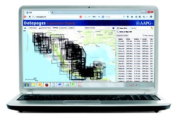
A newly added collection of exploration objects from Asociación Mexicana de Geólogos Petroleos (AMGP) will more than double the number of maps, cross-sections and other exploration objects in the DEO index covering areas within the borders of Mexico.
Georectification is complete for maps and sections from the AMGP collection, and Datapages hopes to have all posted and available for subscribers by the first week of March, Hart said.
The AMGP collection represents a significant gathering of maps and documents on Mexican geology; 1,636 maps, 950 seismic and cross sections, and 229 columns in addition to the nearly 800 maps and objects previously available online.
